
Digital Capture
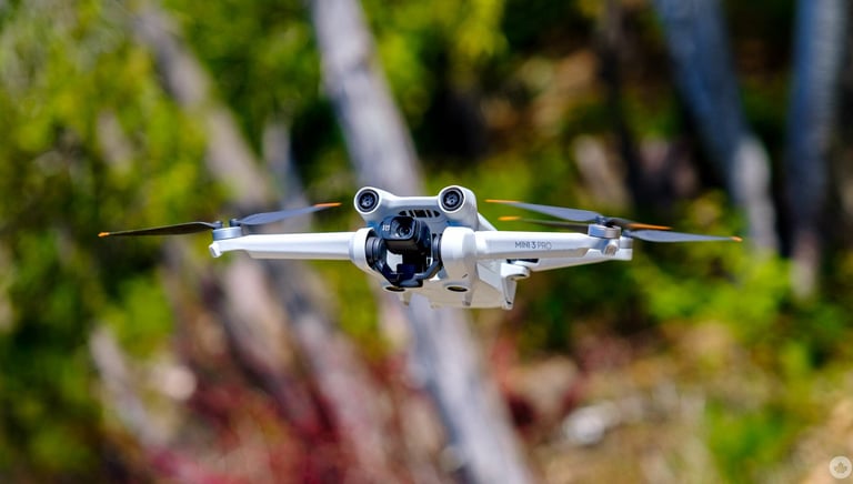
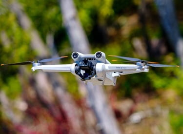
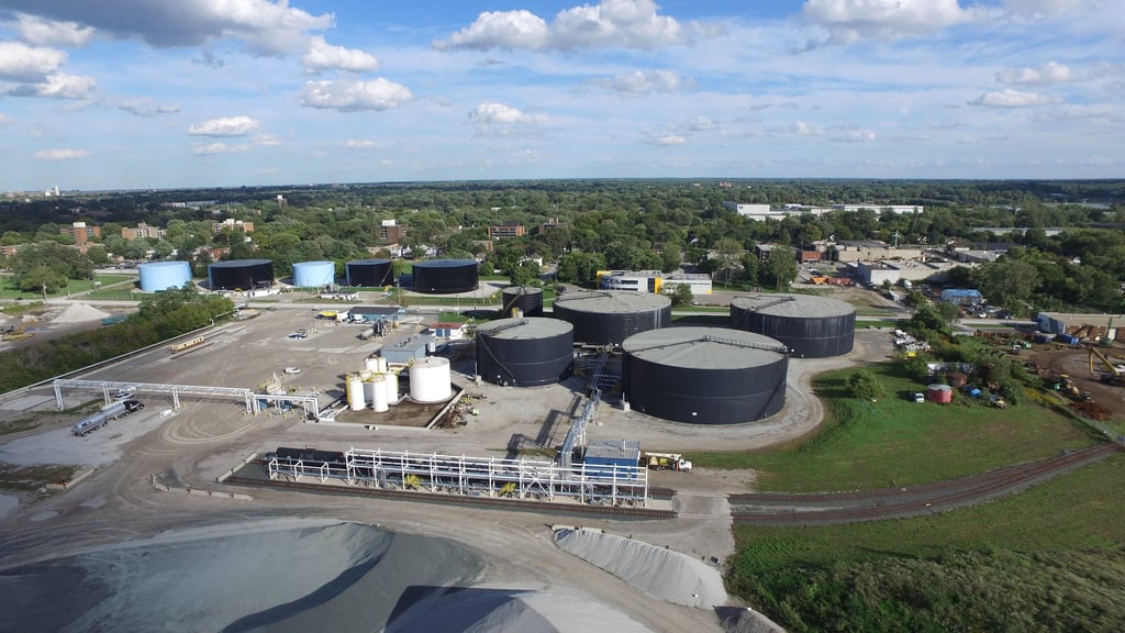
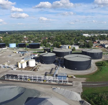
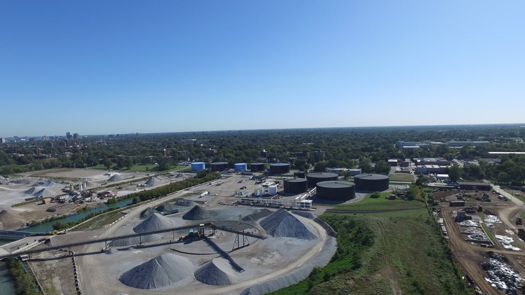
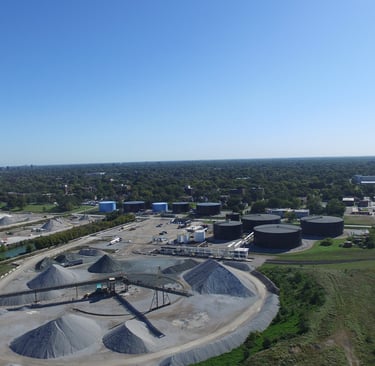
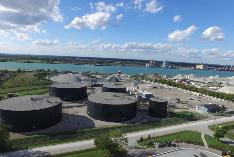
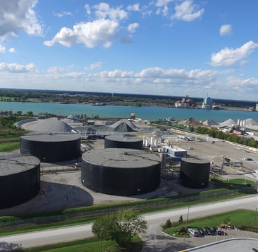
Leverage our cutting-edge digital capturing and scanning services to gain precise, real-time insights into your projects. Our advanced drone technology and 3D modeling capabilities provide you with detailed aerial imagery and digital reconstructions crucial for planning and monitoring
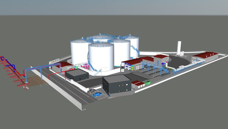
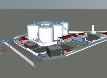
3D Modeling and BIM Services
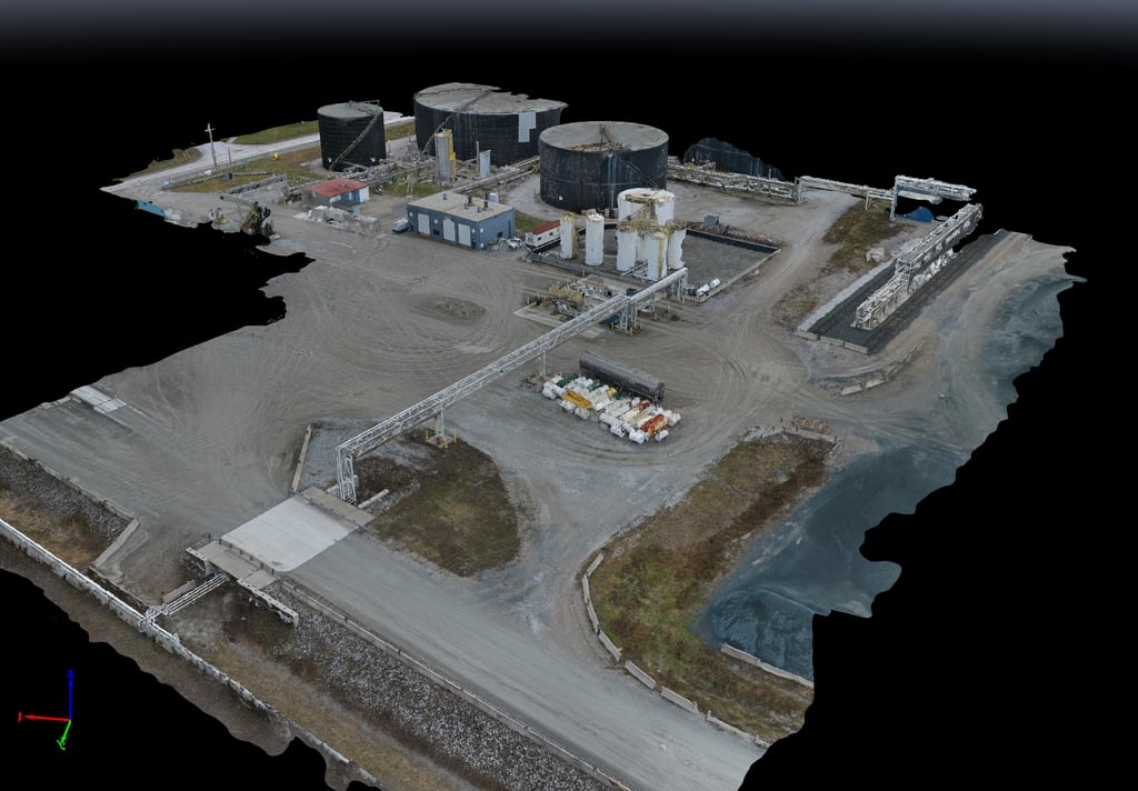
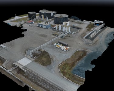
Using tools like Autodesk Recap and DroneDeploy, we transform aerial data into detailed 3D models and digital twins, facilitating enhanced project visualization and management.
Drone Flight and Scanning
Our licensed drone operators conduct extensive aerial surveys to collect data, providing aerial imagery and topographical mapping that are essential for site planning and monitoring.
Empowering Canadian business owners with powerful engineering solutions
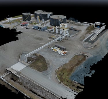
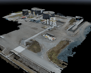
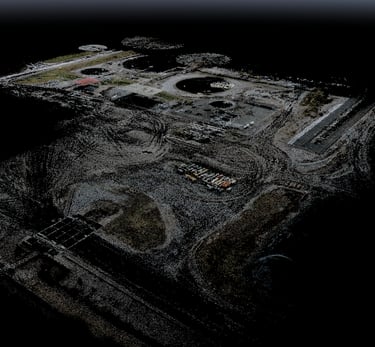
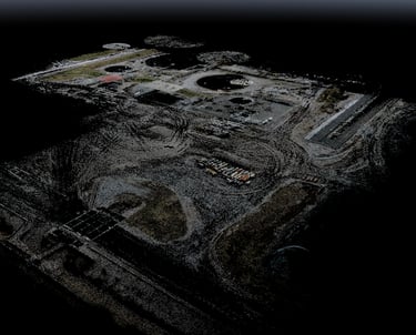
Whether you're in need of detailed site documentation, virtual simulations, or planning for future development, our 3D modeling and CAD services provide the accuracy and detail you need for successful project outcomes. Explore the visual progression from raw data to fully realized models in the images below.
Point cloud used for 3D CAD design